By JERRY PAINTER jpainter@postregister.com
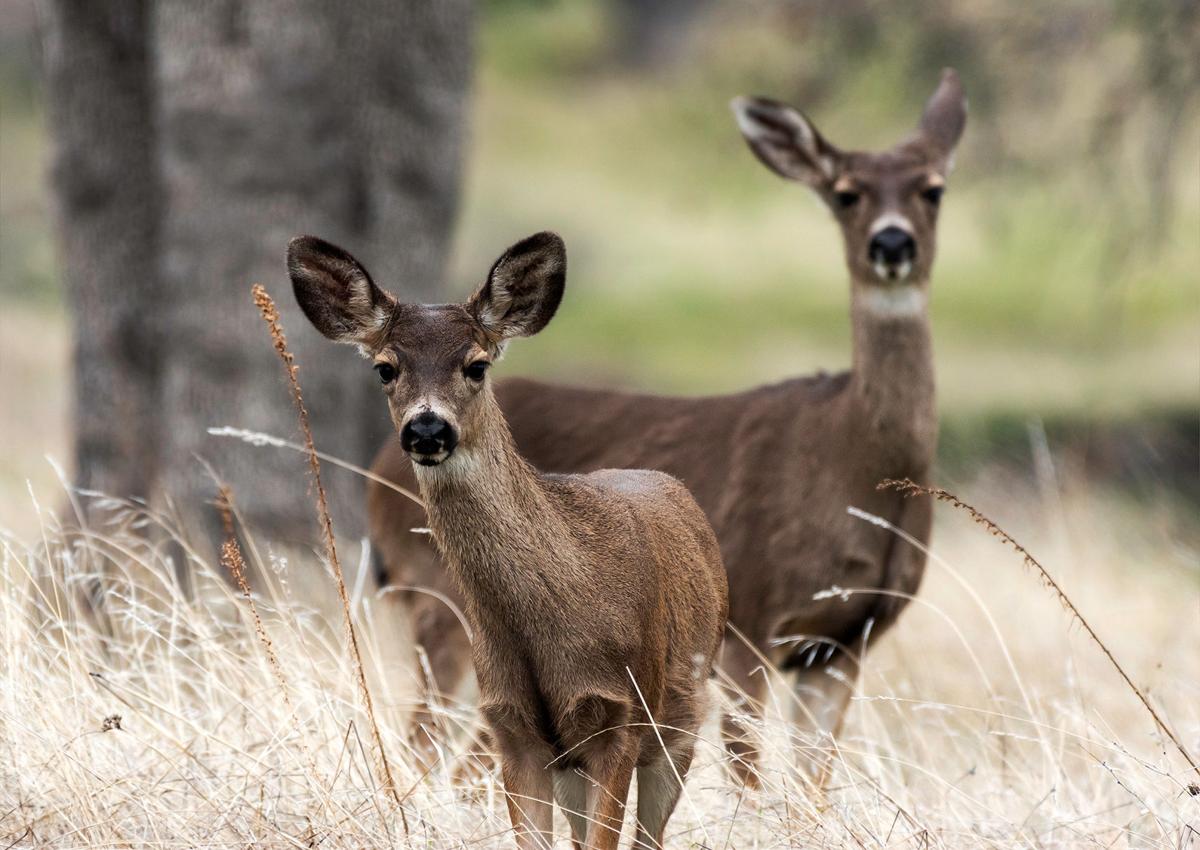
Western ungulates — mule deer, elk, pronghorn, moose and bison — like to move.
Like mule deer 255, who each spring follows the green-up from Rock Springs, Wyo., all the way to Island Park, a nearly 300-mile roundtrip.

Many ungulates famously travel great distances to find suitable winter and summer grounds. For the past several years, new GPS technology has allowed state and federal wildlife biologists to pinpoint migration routes and map them. For the first time, state and federal wildlife biologists have gathered their data of migration routes into a new study called “Ungulate Migrations of the Western United States: Volume 1.” The new study came under the direction of the U.S. Geological Survey and the Department of the Interior. It was made public Thursday.
“This new detailed assessment of migration routes, timing and interaction of individual animals and herds has given us an insightful view of the critical factors necessary for protecting wildlife and our citizens,” said USGS Director Jim Reilly.
Armed with this information, communities, conservation groups, sportsmen groups, highway departments, oil and gas developers and others can avoid disrupting migrations and keep car drivers out of harm’s way.
“I’m really proud of the team that worked across multiple agencies to transform millions of GPS locations into standardized migration maps,” said Matt Kauffman, lead author of the report and director of the USGS Wyoming Cooperative Fish and Wildlife Research Unit. “Many ungulate herds have been following the same paths across Western landscapes since before the United States existed, so these maps are long overdue.”
Kauffman said much of the information has already proved valuable to his home state of Wyoming where identified and mapped migration corridors have helped protect pinch points and locate under and overpasses on highways.
“One of the mule deer herds that makes this 150-mile migration — the world’s longest mule deer migration — we discovered that when we mapped it there was this bottleneck between the town of Pinedale, (Wyo.) … between the expanding suburbs of the town and Fremont Lake,” Kauffman said. “At this point in that corridor the animals have already traveled close to 100 miles and then 4,000 to 5,000 squeeze through this quarter-mile bottleneck.”
Kauffman said the bottleneck area was up for sale with plans to turn it into lakeside cottages “which would have just plugged up the world’s longest mule deer migration, but because we have the map, we knew how important that one segment was by the lake.” He said The Conservation Fund raised $2 million to purchase the 360-acre property and turn it over to the state which created a wildlife habitat management area. “They took down the fences and opened it up, unplugged the bottleneck to make it more easy for those mule deer to migrate through that area,” he said. Mule deer 255 is one of those that uses that corridor.
Mark Hurley, wildlife research manager for Idaho Fish and Game, was Idaho’s lead on the Western wide mapping project. He expects the information to benefit animals and people over time. Especially where migration routes cross specific highways. One such dangerous crossing is at Rocky Point south of Montpelier on U.S. Highway 30. The Idaho Transportation Department reports about 100 mule deer killed along this stretch each year as thousands cross the road during migration.
“The data has helped us understand where the migration is and where the problems are,” Hurley said. “Mule deer have a high fidelity to migration routes to their summer range. They’ll use the same migration route and same patch of aspen trees for summer and raising their fawns and they’ll do that year after year. … If anything, we’re just providing some information and hopefully the decision-makers can use it.”
Kauffman said the new map project gets all the managers from state and federal agencies collaborating and speaking the same language.

“It’s a bit technical and statistical about how you do the analysis to take all these spaghetti lines of individual movements and turn that into a corridor that you can map and get into the planning process,” he said. Kauffman said many of the migration corridors are a mile or less wide.
The report can be found online at pubs.er.usgs.gov/publication/sir20205101. A web viewer showing Western migrations for several states can be found at westernmigrations.net.
“A lot of people are fans of the migration and inherently see their value and want to keep them around and sustain them, but if you don’t have a map, it all gets lost in the mix of where we’re developing,” Kauffman said. “Without a map of these corridors to guide us to where we develop these landscapes we end up cutting off the migrations or making them more difficult to the point where they might just peter out.”